
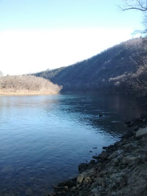
I've finally finished mapping the entire Norfork Lake Trail and thought that deserved a post all to itself.
The Norfork Lake Trail
To use these maps as you hike, you should download the map of the general area at home before hiking the trail. Here is how to do so. After doing that, you should click on the link below for your section of the trail to load its map. (Aternatively, you can just keep the map for the entire trail in your phone's memory.) Do this someplace where there is WiFi or cell service for your phone since cell service on the trails is spotty. After that the map should stay in your phone's memory as you hike. An Android phone (and possibly an Iphone) will then be able to show you your position along the trail as you hike. I have an Android Moto E and find that the MyMaps app from the Google Play Store works especially well for hiking.
Norfork Lake Trail 1-- Quarry Trailhead
Norfork Lake Trail 2-- Shoal Creek Trailhead to Lake Heights Drive Trailhead (aka Devil's Backbone)
The Norfork Lake Trail 3-- Lake Heights Drive Trailhead (aka "Devil's Backbone Trailhead") to Sycamore Springs Road (AR 342)
Norfork Lake Trail 4-- Sycamore Springs Rd. to Tracy Ferry
The Norfork Lake Trail 5-- Tracy Park to CR 1028
Here is a link to pdf file with a printable one-page version of the map, and her is a link to a pdf file with detailed driving directions to the trailheads.
You may also wish to consult the official U. S. Army Corps of Engineers map of the entire lake. Click here for a pdf file of that map.


